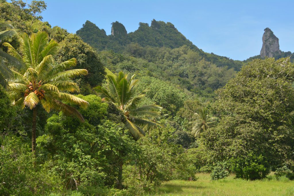
Te Rua Manga, also known as The Needle, captivates visitors with its stunning natural beauty. The challenging hike through dense forests and over slippery roots offers an adventurous experience. The trail leads past The Needle/Te Rua Manga and further south to the impressive Papua Waterfall.
How to get there
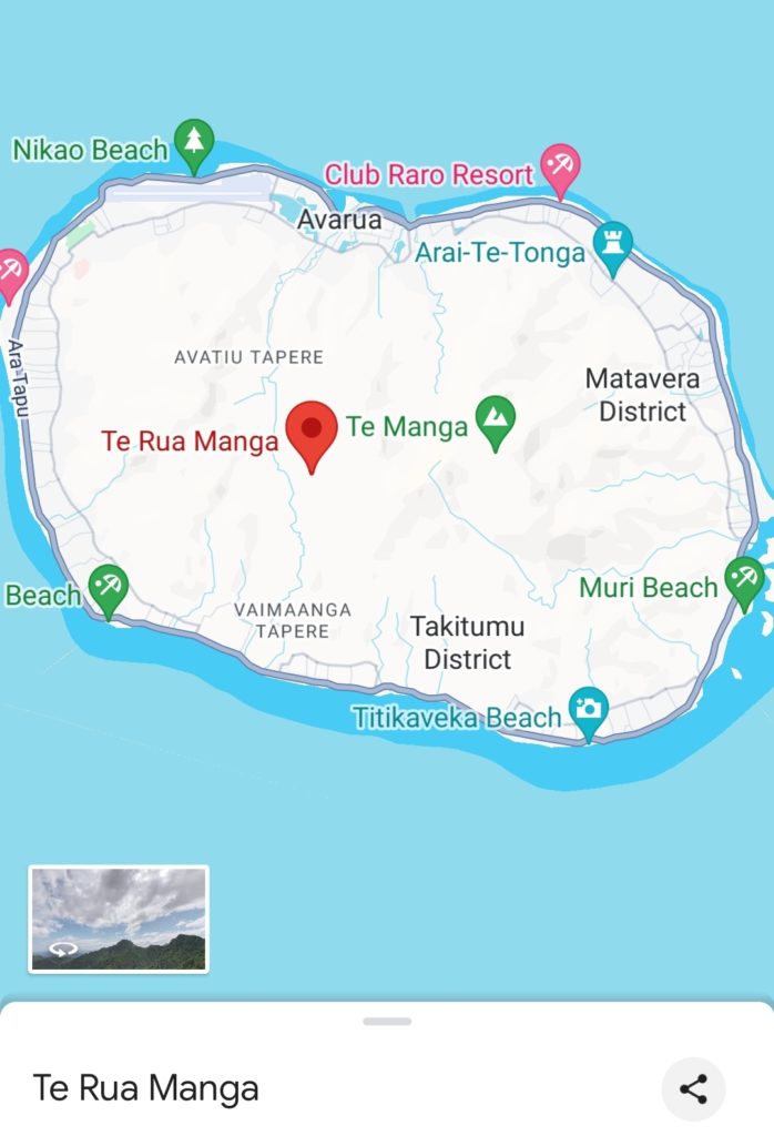
You can start The Needle hike in two ways: walking or driving to the starting point.
You can also choose to begin from the island’s north or south side along the cross-island track.
I’ve tried the north side, which came highly recommended, but I’ve also heard from others who prefer starting from the south.
The choice is entirely yours, and both options offer a wonderful experience.
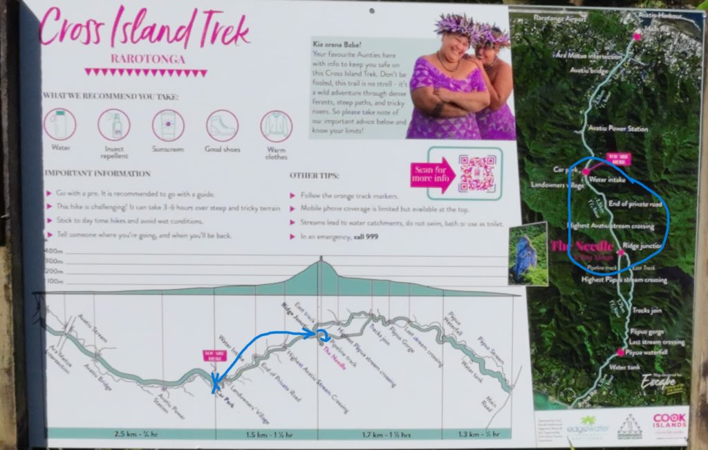
So, If you head to the north end of Uruau Drive, you’ll find a car park that crosses Avatiu Stream. You can access the trail and follow the Cross Island Track south towards Te Rua Manga.
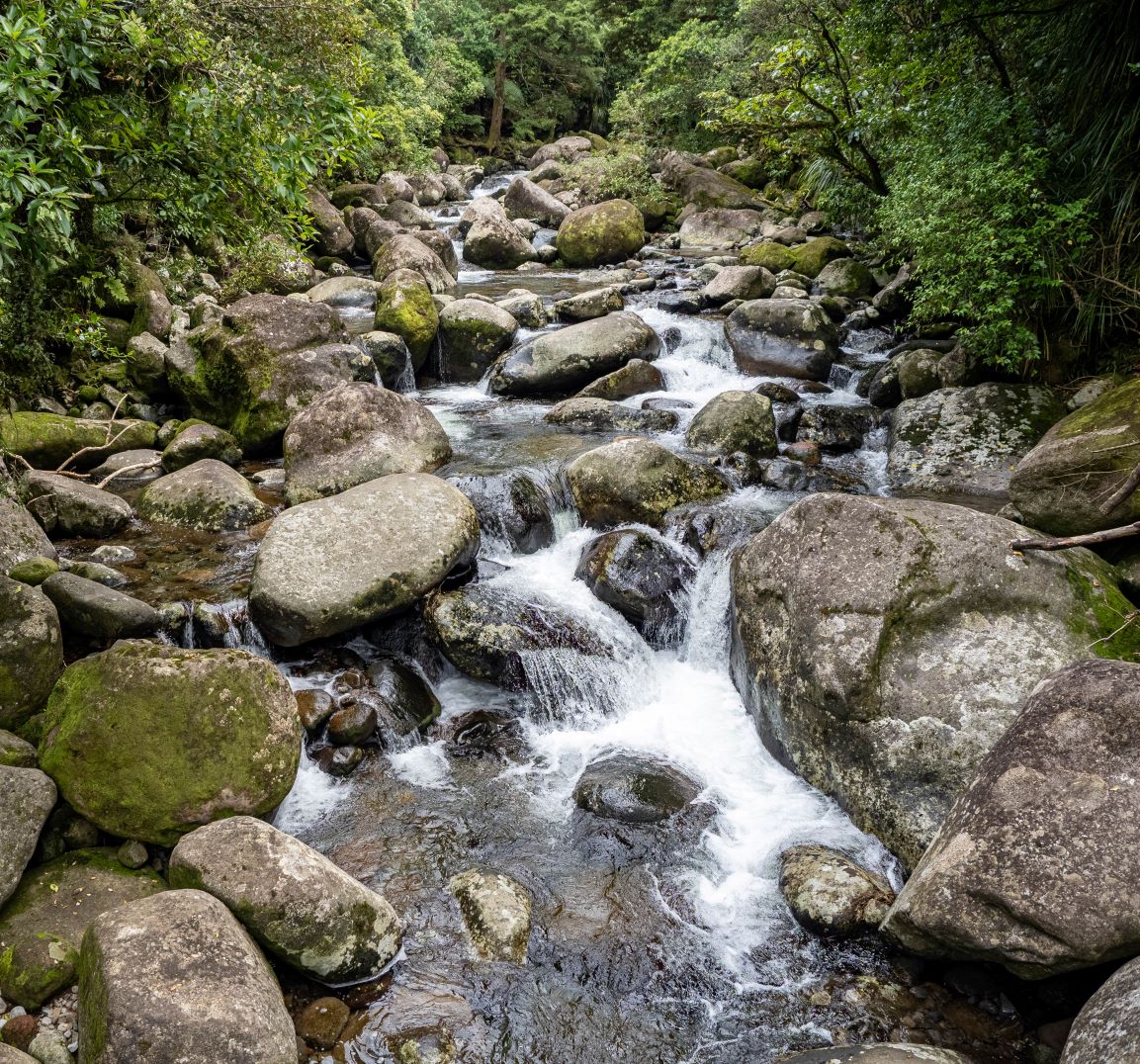
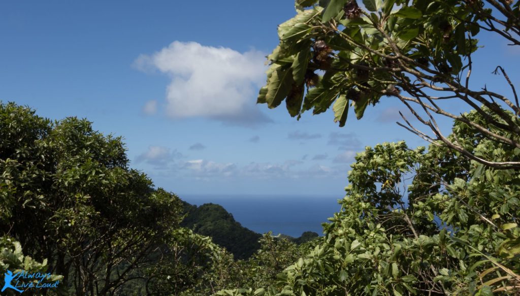
Along the way, you’ll navigate steep and often wet terrain, but it’s worth it for the incredible views of the mountainous landscape deep in the jungle.
Starting the adventure
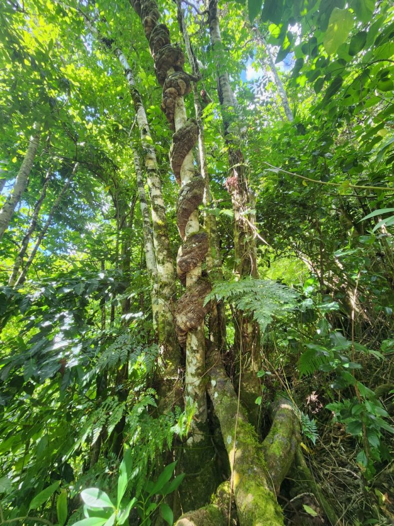
This awe-inspiring mountain presents a thrilling and demanding ascent for adventure seekers. The hike is celebrated for its steep and rugged paths that wind through thick, vibrant forests, creating added excitement and challenge to the journey.
The first part
As you embark on the cross-island track, you’ll find that the initial section is easily accessible and provides a delightful experience in nature.
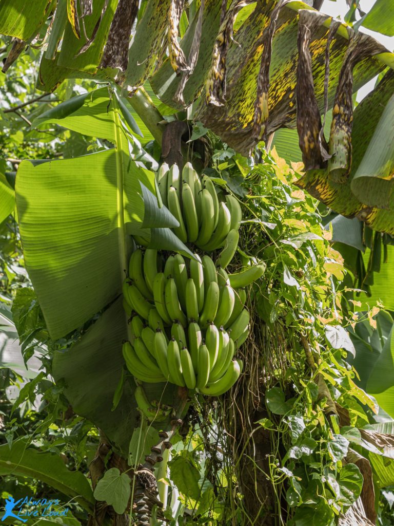
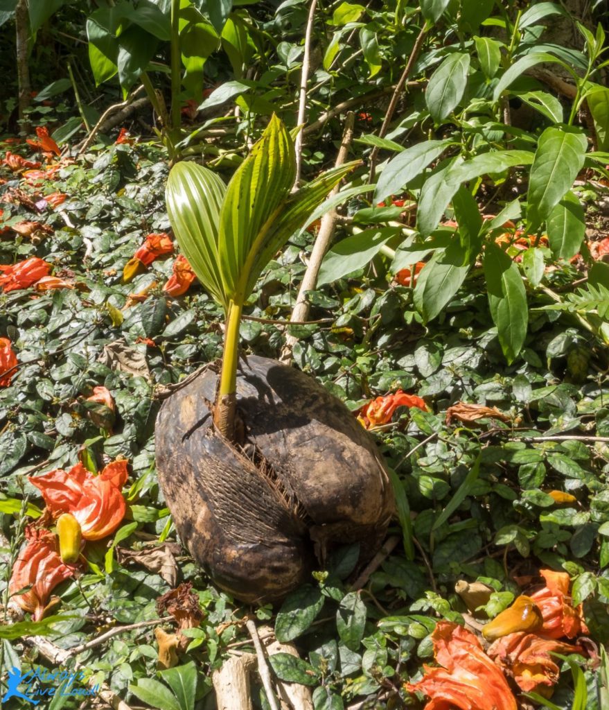
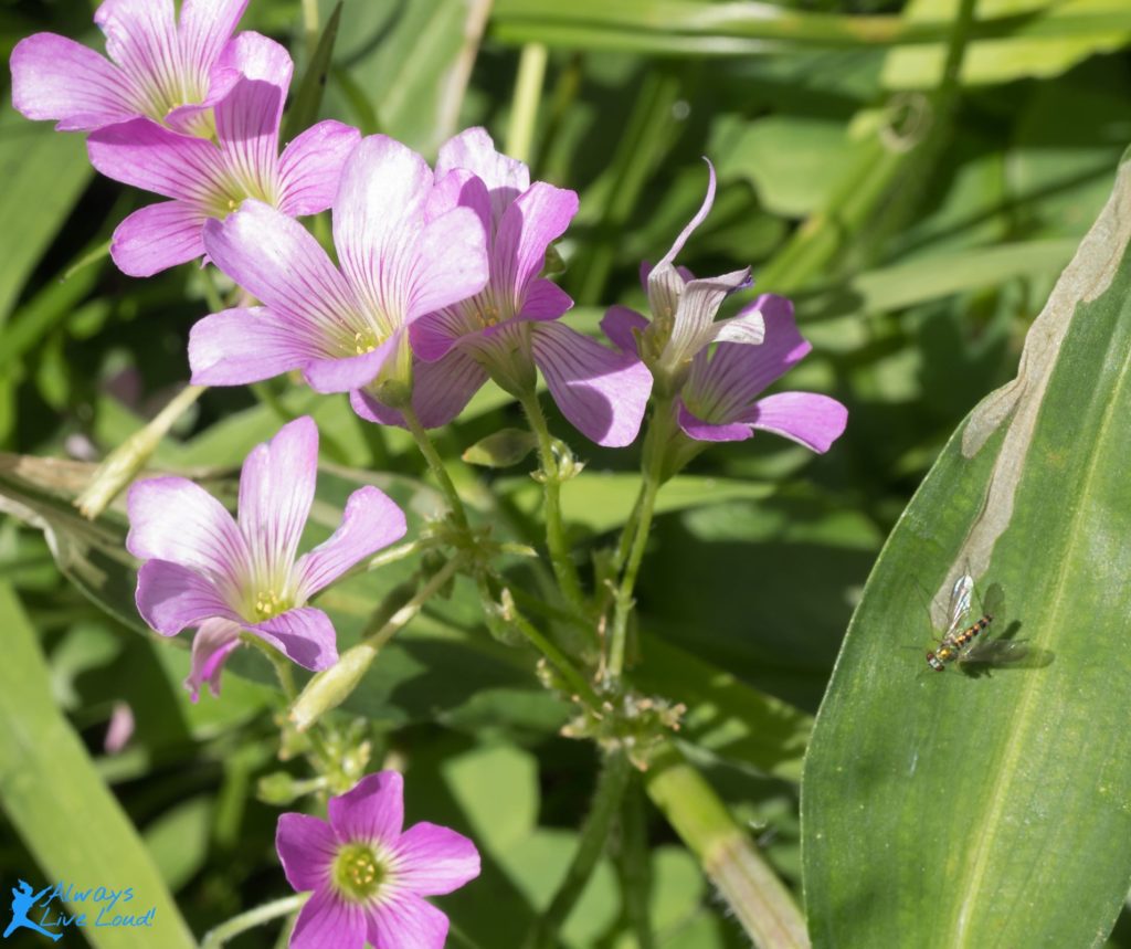
The trail begins with a leisurely stroll, allowing you to observe the abundance of coconuts, colorful flowers, and graceful butterflies, creating a serene and picturesque environment.
However, as you continue, the terrain becomes more demanding, with a constant ascent up a steep hill that tests your endurance.
Eventually, you’ll find yourself surrounded by the lush and dense jungle, further immersing you in the area’s natural beauty.
The jungle
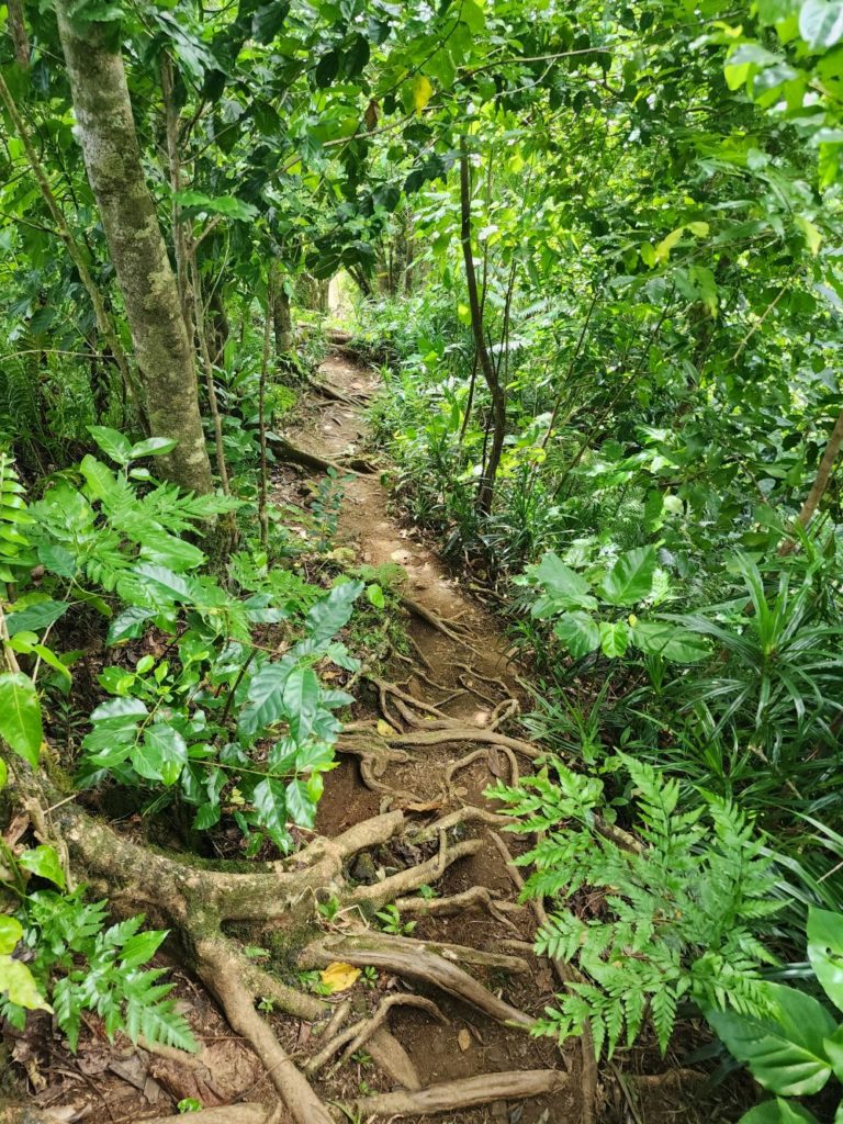
As you embark on the trail, you’ll find it’s a breeze to navigate, thanks to the clearly marked signs that guide your way. Yellow tape wrapped around the trees is a constant reassurance along the path, ensuring you remain on the right track.
When venturing onto this trail, be extra careful in potentially slippery areas, especially after rain or in shaded spots.
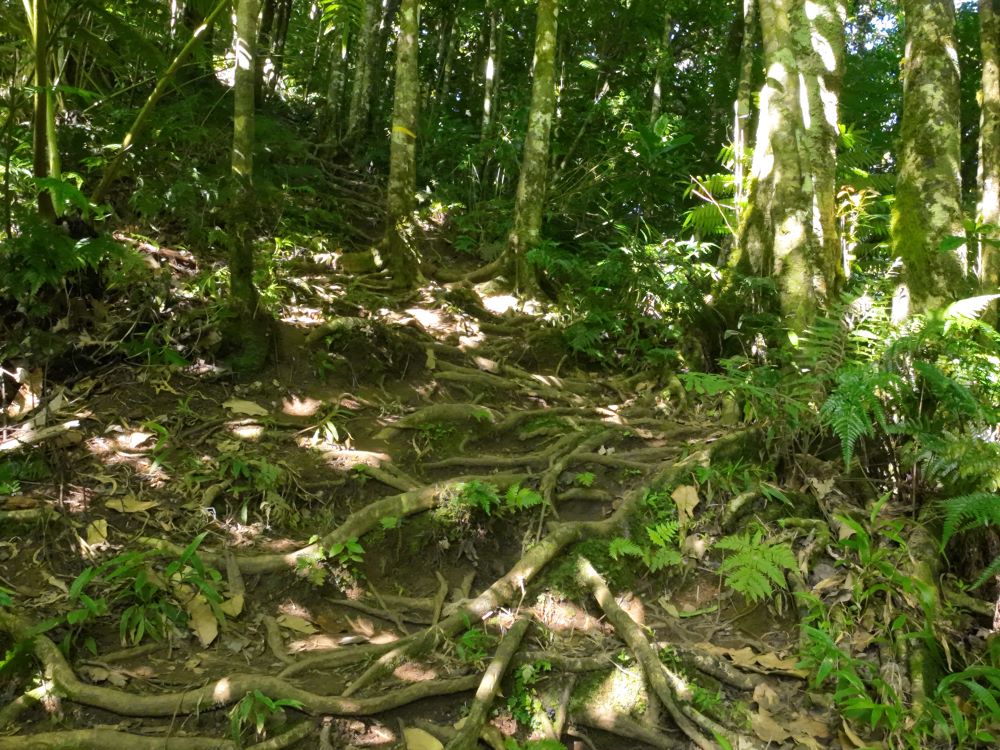
The trail has some steep ups and downs and rocky terrain, so make sure to wear sturdy shoes with good grip to stay safe and steady.
Don’t forget to bring plenty of water, especially on hot days. You might also want to bring electrolyte-replenishing drinks for those longer treks. And since wooded areas can be buggy, pack some insect repellent to keep those pesky mosquitoes away.
Also, it’s always good to be prepared, so consider carrying a small first aid kit and a whistle just in case.
Ridge Junction
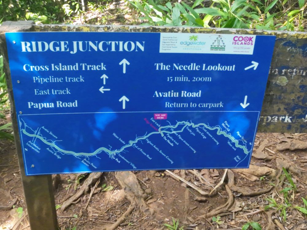
As you reach Ridge Junction, you can move towards the stunning Needle Lookout or detour on the Cross Islands Track, leading you back down to Wigmore’s Waterfall on the Southside end.
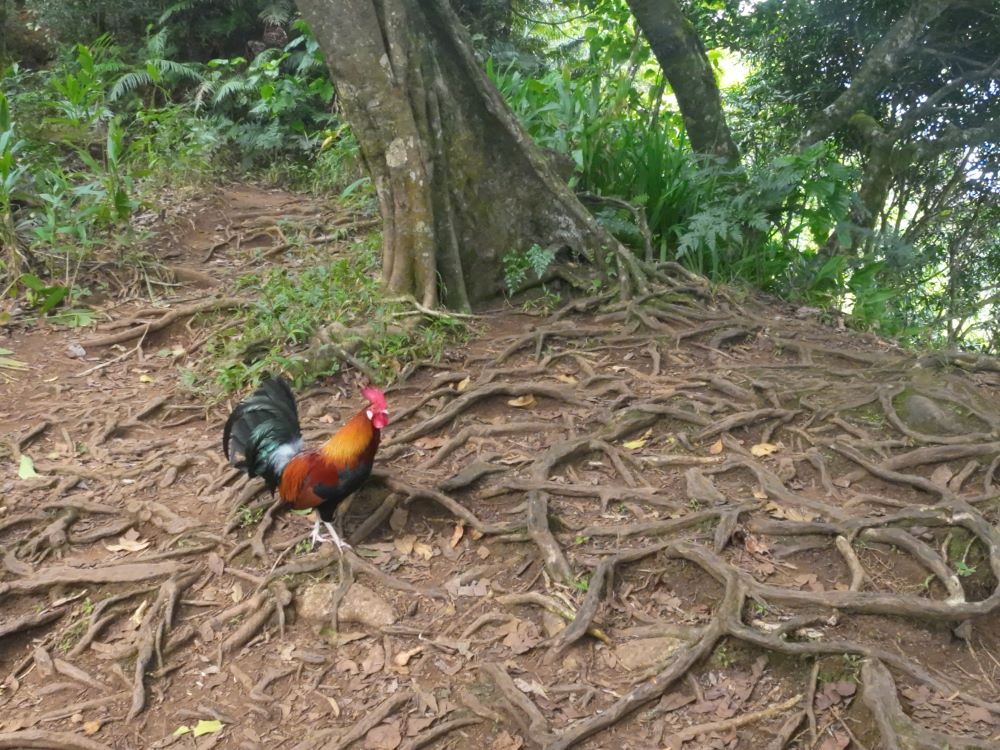
Additionally, while at the junction, take a moment to rejuvenate and marvel at the sight of wild chickens and roosters roaming the area freely.
The Needle Lookout

Getting from the junction to the lookout takes about five to ten minutes. Along the way, you’ll start to see the mountain ranges, and once you reach the lookout, you’ll be right below The Needle.
You have the option to climb onto The Needle, but it’s pretty risky as you’ll need to hold onto a chain to pull yourself up, so you’ll need to be cautious.
However, the view from the lookout is already very impressive, so it’s not necessary to climb The Needle to enjoy the scenery.
Enjoy the video!